Combining next-generation drone technology with precision aerial data that drives real-world decisions.
Discover our services
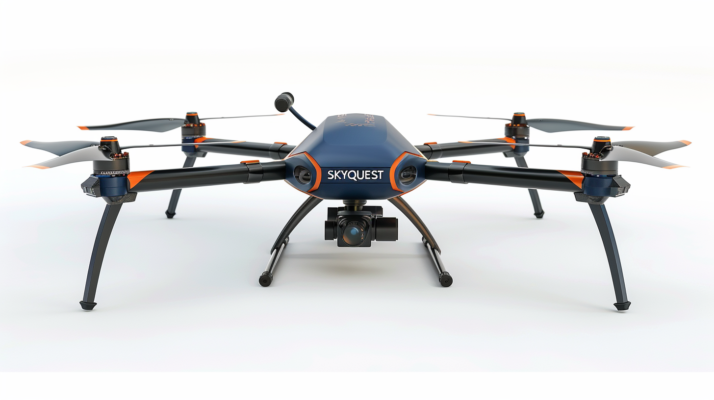
Advanced aerial imaging delivers a complete visual record of your roof. Get a detailed photo report and digital sketch that highlight condition, structure, and measurements—all powered by next-generation drone technology.

Next-generation surveying powered by LiDAR and precision imaging. Transform raw terrain data into detailed 3D models, contour maps, and actionable insights for engineering, construction, and development. (/hr)

Accurate aerial visuals and 3D site data to track progress, verify work, and keep projects on schedule. (/hr)
Every project is unique, and not every service fits into a standard category. If you don’t see what you’re looking for, we offer tailored aerial data and imaging solutions for specialized industries—including agriculture, environmental monitoring, and infrastructure development. Our team can design a custom workflow that meets your exact project requirements.
Reach out today for a free consultation to discuss your objectives and discover how we can deliver the insights you need.
Call us for a free quote
Custom Applications
502 509 1036

Servicing Central and Coastal Florida

“The speed you need and precision you can trust.”
Lidar (Light Detection and Ranging) is an advanced remote sensing technology that uses laser pulses to measure distances with extreme accuracy. By emitting rapid laser beams toward a surface and measuring how long it takes for the light to return, Lidar creates precise 3D maps of environments.
Unlike traditional cameras, Lidar captures exact elevation, shape, and depth data—even in low-light or obscured conditions. It’s widely used for aerial surveying, topographic mapping, construction monitoring, and environmental analysis. Mounted on drones, vehicles, or tripods, Lidar systems produce detailed digital surface models that help professionals measure, plan, and visualize projects with millimeter-level precision.
Our Lidar systems deliver survey-grade accuracy and comprehensive spatial data essential for modern project planning. By integrating advanced Lidar mapping, we capture millions of precise measurements per second, producing highly detailed 3D models and elevation data.
This technology allows engineers, architects, and project managers to identify design challenges early, verify as-built conditions, and streamline decision-making with reliable, measurable data. Partnering with us ensures your project benefits from accurate topographic mapping, reduced field time, and improved overall efficiency from start to finish.

-
Latest Technology
Advanced LiDAR and drone systems deliver precise, real-time data for unmatched accuracy.
-

Situational Awareness
Live telemetry and mapping ensure safe, efficient, and accurate flight operations.
-

Licensed & Insured
FAA-certified and fully insured pilots ensure safety, compliance, and professionalism.
-

Quick Response Time
Rapid deployment ensures fast, reliable results without compromising data quality.